NOAA Teacher at Sea
Lisa Werner
Aboard NOAA Ship Fairweather
September 3 – 20, 2024
Mission: Hydrographic
Geographic Area of Cruise: Alaska
Date: August 16, 2024
Weather Data (Mukwonago, WI)
Date: 08/16/2024
Time: 09:00
Latitude: 36.98°N
Temperature: 60°F
Longitude: 122.01°W
Introduction
Hello! My name is Lisa Werner and I am so excited to be a Teacher at Sea for the 2024 Season. I have been teaching for 15 years, and currently teach 3-year old kindergarten through 8th grade music, 4th-8th grade band, and 5th-8th grade choir in Wisconsin. I am passionate about showing students the link between music and other subjects, as music has so many connections to everything we do. The students in my classes are curious about the world around them and have a very adventurous explorer mindset. I will be entering this experience armed with all of their questions to answer upon my return!

Our school music program is a bit unique – we are regularly exploring STEM (Science, Technology, Engineering, and Math) concepts and turning them into STEAM (adding the A for Arts) concepts. Students in my classes use Virtual Reality headsets to practice performing their music to fight off performance anxiety. We study the effects of music and vibration on plant growth. We’ve even designed experiments for a zero-gravity parabolic flight. All of these music class units show students how music is interwoven into so many facets of our lives!

Science and Technology Log
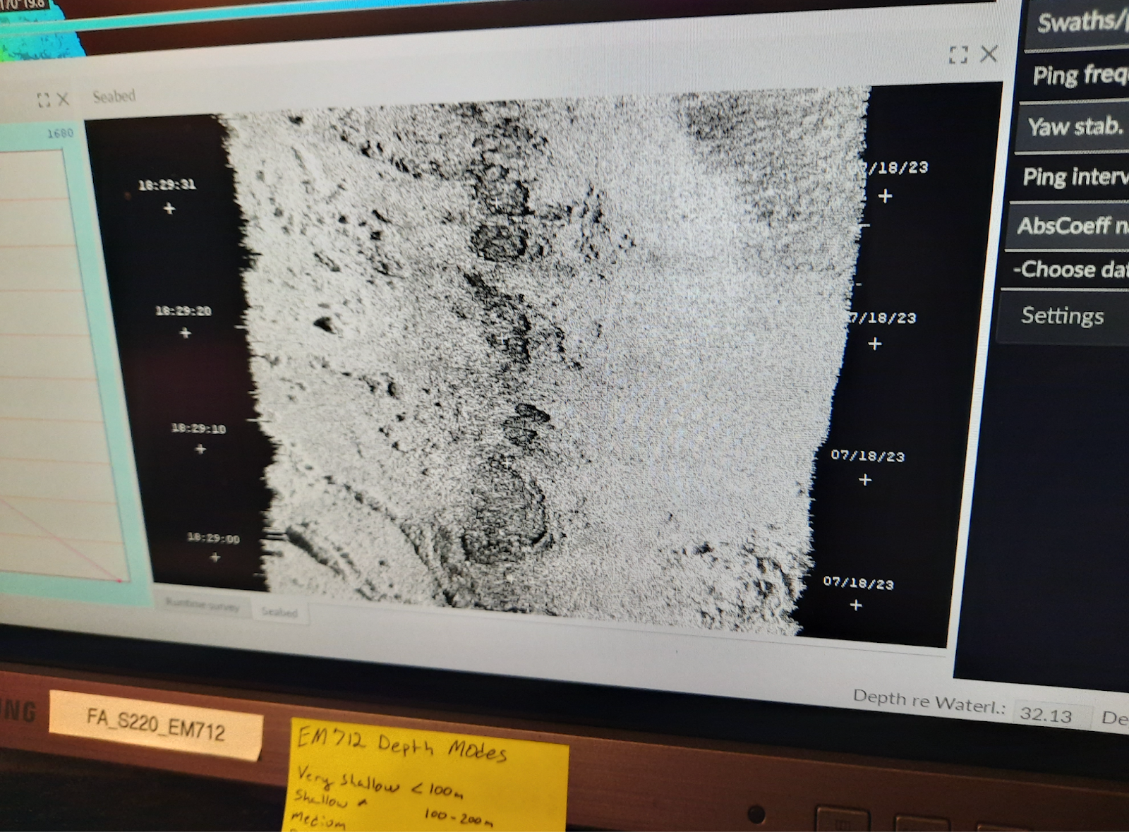
I will be aboard NOAA Ship Fairweather as a NOAA Teacher at Sea. The Fairweather is a ship used to map the ocean in order to ensure safe navigation and commerce. The crew aboard the Fairweather collect data from sonar scans and echo sounders and then pass this information to NOAA cartographers who create updated nautical charts to support marine navigation. The data from the Fairweather is also used to study fishery habitats and marine ecosystems. The Fairweather is named after the tallest peak in the Fairweather Mountain Range, Mount Fairweather, located in Alaska’s Glacier Bay National Park.

Personal Log: Why would a music teacher be selected for this program?
I enjoy showing students connections between music and other subjects. I am a master at finding similarities between many areas of STEM fields and music concepts. The students I teach love learning about these connections and they often find inspiration to research and dig deeper into these experiences. My goal as a teacher is to help the students I work with find their spark – I know very few students I teach will become professional musicians, but I can help give them the skills they need to be successful in whatever area they choose. I can also help them to find their interests through experiences such as this one. I love to open the students’ eyes to life outside of our classroom and community and inspire them to make a difference.

I anticipate using this program in a few different ways – I want to share the information we learn through the experience with the students. I plan to share the data with the students, and have them sonify the data into a musical composition. I want to record the sounds of the ship and the life at sea for the students to use in their musical composition recordings. While I am on the experience, I will also find similarities between the research going on and musical concepts I teach in the classroom, drawing comparisons between concepts students know from my class to help them understand what happens on a research vessel. Additionally, I want students to be aware of the missions of NOAA, and the research being done. I want to inspire curiosity in the students and to empower students to make changes to help the health of the Earth’s water. Seeing the important research being done will encourage students to look at how water is important in their own lives, even living a distance away from oceans.
I am excited to be selected for the Teacher at Sea program and have the opportunity to learn about bathymetry and oceanography careers. I can’t wait to share all that I learn with my students. Thank you to NOAA for giving me this opportunity to experience hydrography research in Alaska. I know that the students I work with and our community will be very inspired to learn more about the ocean!