NOAA Teacher at Sea
Jojo Chang
Aboard NOAA Ship Bell M. Shimada
June 30 – July 15, 2025
Mission: Integrated West Coast Pelagics Survey (Leg 2)
Geographic Area of Cruise: Pacific Ocean, California Coast
Date: July 14, 2025


Weather Data from the Bridge
It is our last full day at sea, and the visibility is minimal. Currently, the bridge is reporting a temperature of 57.2°F and a wind speed of 19 knots. Our sky condition is OVC, with the entire sky filled with clouds; additionally, there is a lot of fog. Our OPS officer, Brandon Schleiger, emptied the mess hall of every human soul eating lunch when he reported over the loudspeaker, “There is a blue whale spotted port side, very close…maybe about 100 yards.”
Surrounded by Salt Water
The number three is an important one for human survival. It has been said that humans will die after three minutes without oxygen, three days without water, and three weeks without food. On the Shimada, both oxygen and food have been plentiful, but the water situation is an interesting story. For a human stranded at sea, the ocean becomes a desert, and finding freshwater might require some unpleasant alternatives like eating fish eyeballs or drinking turtle blood—definitely (and thankfully) not on Chef Phil’s menu. Drinking salt water is generally a bad idea, as it can lead to further dehydration.

On board NOAA Ship Bell M. Shimada, desalination is happening all the time—like magic, but with a lot more plumbing. I interviewed Matt Swanson (First Assistant Engineer) about how this salt-to-sip transformation happens. The ship has two methods for converting salt water into freshwater: flash evaporators and reverse osmosis. Let’s talk about flash evaporation, which sounds like a superhero skill, but it’s just advanced engineering. First, there are two types of water involved with this: jacket water and salt water. Jacket water is water that’s purchased on land. It is dyed traffic-cone orange and used to cool down the ship’s engines, which get much hotter than an August car seat in Arizona.
Using saltwater for this function would be a one-way ticket to Rustville for the engine’s metal parts, so it’s 100% jacket water for Shimada’s engines. As it circulates through, it absorbs engine heat, becoming hot enough to help boil the nearby saltwater—but don’t worry, the two waters never actually touch. They’re separated by titanium plates like awkward dance partners at a middle school dance. When the steam turns back into water, voila! Shimada’s got distilled water that can be used for drinking, showering, and flushing toilets.

Home for me is on the island of Oʻahu. Here, we’re surrounded by saltwater on all sides—but surprisingly, we don’t have a way to convert seawater to drinkable water on a large scale. Hopefully, at some point in the future, this situation may change. Improvements in Hawaii happen slowly. Twenty years ago, a seawater desalination facility was approved by Congress. With a projected cost of $204 million, the Kalaeloa Seawater Desalination Facility is designed to produce 1.7 million gallons of freshwater per day, drawn and desalinated straight from the ocean. Oahu desperately needs this important resource for fresh water, but unfortunately, the project is still awaiting permit approval.
Science: Environmental DNA

Environmental DNA, or eDNA, is nature’s version of leaving fingerprints—except instead of prints, organisms leave behind tiny traces of genetic material in the water. Fish, mammals, birds… they’re all unknowingly contributing to a floating soup of clues. By collecting just a bit of water, scientists can discover the species that have recently passed through, like detectives reading the guest list to an underwater party.
Why take eDNA samples? NOAA reports that eDNA can identify species and characterize their role in the area’s food web and ecosystem. Also, it offers a powerful, non-invasive way to monitor marine life without disturbing it—no giant nets, no hake fish hauls mixed in with baby sharks called spiny dogfish. This new technology allows scientists to gather information without bycatch.

Maddy and Sam are eDNA NOAA scientists. According to Sam, there are about 100 specific sampling stations along the U.S. West Coast (excluding Alaska), where water is collected and sampled for ocean species each year. In 2024 alone, the Pacific NOAA team took approximately 2,500 water samples.

Despite being a non-invasive way to sample species, there are a few drawbacks to this research method. According to Maddy, there is no way to currently assess the age or sex of the fish being surveyed through eDNA methods. This limits a scientist’s ability to know the health and future of a species. As eDNA improves, it may be possible to create a full picture of a fish population. For now, eDNA and fish trawling surveys are working together to get a better picture of what is happening under the sea.
Visual Art and Music in Seafloor Mapping and Acoustics:
Oceantransect lines
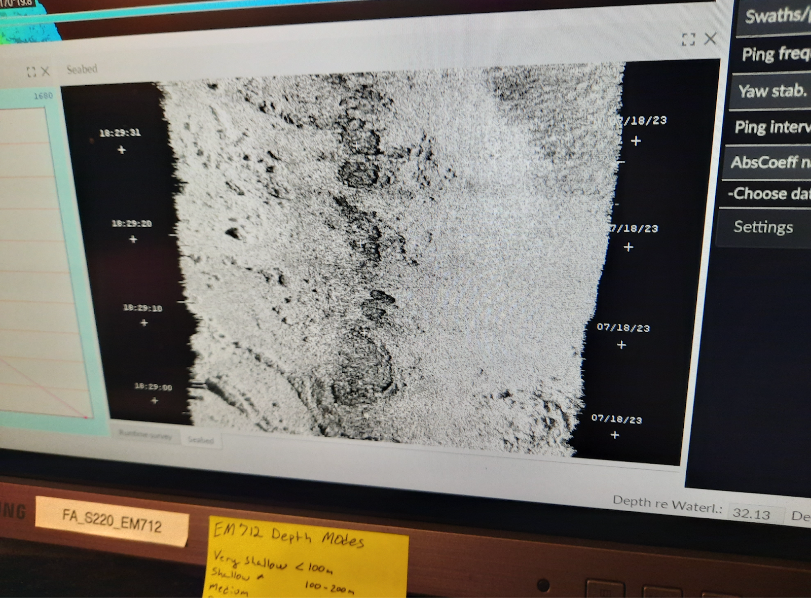
During a “leg” at sea, NOAA scientist Rebecca Thomas (respectfully called “RT” by her science crew) calls herself a “fancy fish finder.” She is not only using sound equipment to locate hake fish underwater, but she is also presenting this information in both visual and musical forms.
Take her ocean floor maps, for example. Mapping the depths of the ocean floor is a remarkable human accomplishment, and knowledge of these depths is important to Rebecca’s work. Rebecca even customized the color palette to match her mental map of the sea—deeper water in darker tones, shallower areas in lighter ones. As she puts it, “It just made more sense.” And it works—the color gradient helps her instantly read depth and spot the elusive “hake snake,” the long, wriggly trail of fish she’s after.


But she didn’t stop there. Rebecca’s also experimenting with turning sonar data into sound, essentially making music out of marine science. Here she explains a composition she created that includes music for a CTD going down into the ocean, an alarm clock waking her up, and a sunrise. While it’s not the catchy tune of Alan Menken’s, Under the Sea, it is a helpful way to form a greater understanding of an elaborate water world that is challenging for us, land animals, to understand.
Animals Seen Today: Humpback whales, blue whale, Pacific whiteside dolphins, hookarm squid, chili pepper rockfish, tiny octopus, hake, anchovy, purple striped jellyfish, lamprey, seabugs


This octopus is an example of one of my favorite wet lab buddies.
Personal
Another thing—sleeping on this boat? It’s pretty great! In Hawaii, I opt for the ocean breeze over air conditioning, but out here, the cabin turns into an arctic tundra every night. So naturally, I’ve assembled a fortress of five blankets—a Shimada sea cocoon. Sometimes it feels like I’m gently swaying on a waterbed. Other times, it’s a full-blown rolling magic carpet ride through the waves. Either way, I’m snoozing like a champion, beneath a sky full of Pacific fog off the coast of California.

Works Cited
NOAA Ocean Exploration. “Environmental DNA (eDNA).” NOAA Ocean Exploration, 13 Sept. 2022, https://oceanexplorer.noaa.gov/technology/edna/edna.html. Accessed 12 July 2025.