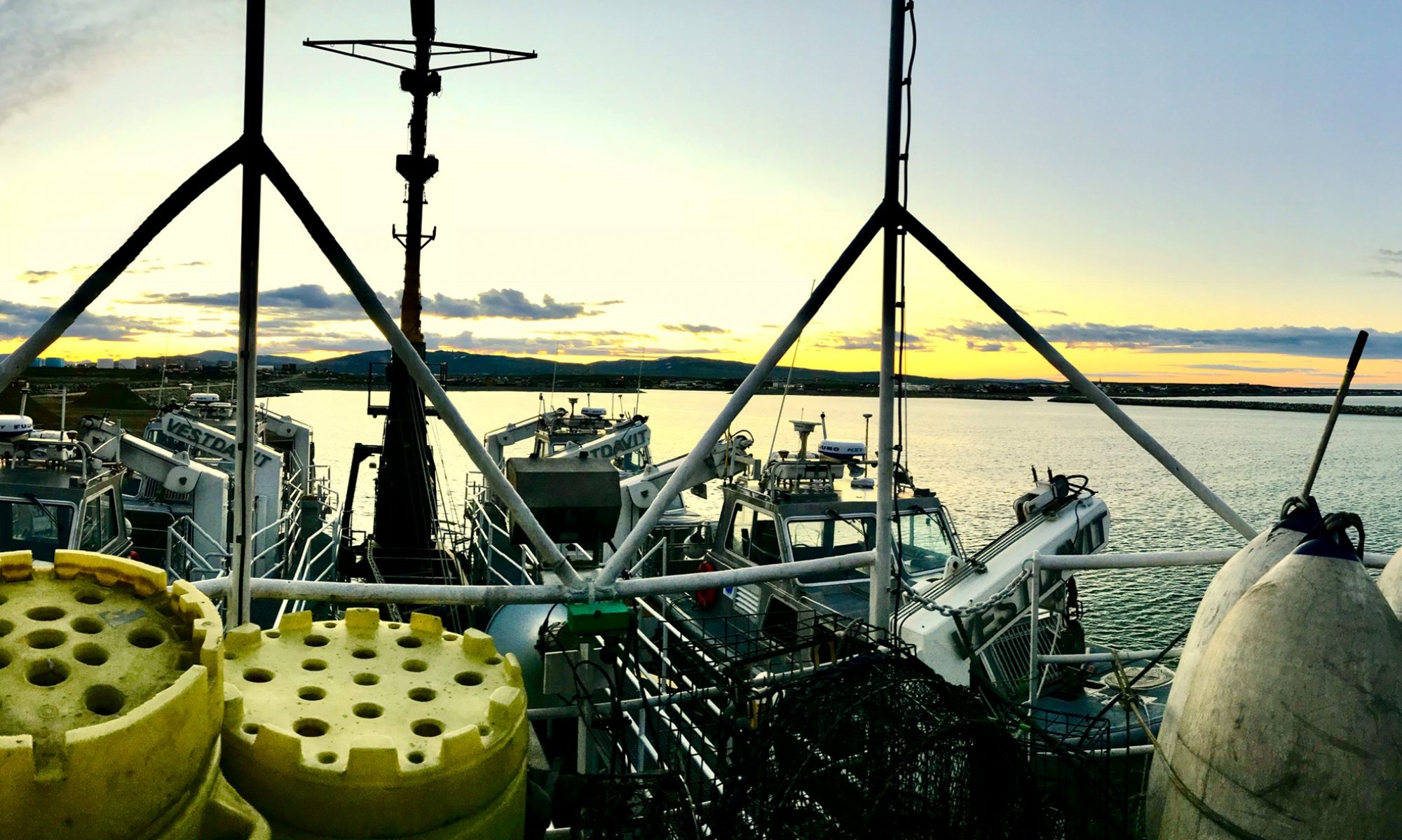
Anne Byford: June 11, 2010

NOAA Teacher at Sea: Anne Byford
Aboard: R/V Hugh R. Sharp

Mission: Sea Scallop Surveys
Location: Off the Coast of New England
Date: June 11, 2010

Weather Data at 1:35pm EDT:
Clear, 14.4˚C
Location at 1:35pm EDT: Lat: 40 30.07 N Long: 69 08.66 W
Water Depth: 77.5 m

4th Day at Sea

Why Count Sea Scallops?

That had to be the most common question I got asked before coming on this trip. Much of the information below is from the NOAA FishWatch website (www.nmfs.noaa.gov/fishwatch/species/atl_sea_scallop.htm).

Economically, sea scallops are an important species; in 2008 the scallop harvest was about 53.5 million pounds and was worth about $370 million. The population is not currently considered to be overfished and has been above minimum sustainable levels since 2001. Formal management began in 1982 with the Atlantic Sea Scallop Fisheries Management Plan. The management plan includes limiting new permits, restrictions on gear and on the number of crew on a boat. Since about 2000, the biomass of scallops has been increasing. Biomass is estimated by using the weight of scallops per tow on cruises like this one. Combinations of biomass estimates and estimates of the commercial catch are used to update and adjust the management plan.

Sea Scallops (Placopecten magellanicus) are filter feeders. They can live up to 20 years and begin reproducing at about 2 years, with maximum fertility reached at 4 years. A single female scallop can produce up to 270 million eggs in her life. This high reproductive capacity has helped the scallop population recover relatively quickly. Gender can be determined by the color of the gonad; females are orange while the male gonad is white. Adult scallops average between 6 and 7 inches from hinge to tip (called height) but can be as big as 9 inches. Age can be estimated by counting the rings on the shell. Scallops can “swim” by opening and closing the two shells. This is a useful adaptation for escaping from predators, including flounder, cod, lobsters, crabs, and sea stars. Scallops are harvested for the adductor muscle (the one that opens and closes the shell). There is no commercial aquaculture of scallops in the US as of August 2009.

Personal Log

A storm moved through beginning on Wed. evening (day 2) and stayed with us most of Thursday. By the end of shift on Wednesday, we were working on deck in full foul weather gear and life jackets. Thursday we had an 8 hour steam between dredge sites and by the end of shift on Thursday, the seas had begun to smooth out. Friday was quite nice, weather-wise.

I am learning to shuck scallops, though I am about half the speed of many on the boat. I am also learning to tell the various types of flounder and other fish apart as well. It’s not always obvious which type of flounder or hake is which.

New Species

Goose fish (aka monk fish), several more varieties of flounder, sea urchins, sea cucumbers, eel pout, some very large skates, 3 types of sea stars and 1 type of brittle star.

Marilyn Frydrych, September 23, 2008

NOAA Teacher at Sea
Marilyn Frydrych
Onboard NOAA Ship Delaware II
September 15-25, 2008

Mission: Atlantic Herring Hydroacoustic Survey
Geographical area of cruise: New England Coastal Waters
Date: September 23, 2008

Weather Data from the Bridge 
42.42 degrees N, 67.39 degrees W
Cloudy with wind out of the N at 32 knots
Dry Bulb Temperature: 15.5 degrees Celsius
Wet Bulb Temperature:  11.6 degrees Celsius
Waves: 6 feet
Visibility:  10 miles

Science and Technology Log 

Yesterday we were fairly busy doing CTD casts and trawls. Today we woke to find the night crew just starting to record the lengths and weights of their large catch. We grabbed some cereal and took over from them at 5:45 a.m. They had collected and sorted all the fish. Jacquie and I took about two hours measuring, weighing, and examining the innards of the half basket of herring they left us. Our chief scientist, Dr. Mike Jech, summarized his findings so far in a short report to everyone including those back at Woods Hole: “Trawl catches in the deeper water near Georges Bank have been nearly 100% herring with some silver hake.  Trawl catches in shallow water (<75 m) have occasionally caught herring, but mostly small silver hake, redfish, butterfish, and red hake.

A night haul of herring.  Notice the brilliant blue stripe on the top of the herring. The camera’s flash is spotlighted in the reflective tape on the life vests.
A night haul of herring. Notice the brilliant blue stripe on the top of the herring. The camera’s flash is spotlighted in the reflective tape on the life vests.

Small being less than 5-6 cm in length.  We caught one haddock this entire trip.  Trawl catches north of Georges Bank have been a mix of redfish and silver hake, with a few herring mixed in.” This afternoon the Officer of the Deck, LT(jg) Mark Frydrych, gave me a run down of many of the instruments on the bridge.  I spotted a white blob on the northeastern horizon and pointed it out. He showed me where it was on the SIMRAD FS900, a specialized radar.  The SIMRAD FS900is often able to identify a ship and its name.  This time it couldn’t.  Looking through binoculars we could see it was a large container vessel.  Then we looked at a different radar and saw both the ship’s absolute trajectory and its trajectory relative to the Delaware 2.  It was on a path parallel to the Delaware2 so Mark didn’t worry about it intersecting our path.  We also noticed another ship off to the west and north of us on the radar, but we couldn’t yet see it on the horizon. It too was projected on a path parallel to us.

Then Mark pointed out an area on the SIMRAD FS900 outlined in red. It’s an area where ships can voluntarily slow to 10 knots in an effort to avoid collisions with whales. It seems that sleeping right whales don’t respond to approaching noises made by ships.  There are only about 350 to 500 of them left and they are often killed by passing ships. The Delaware 2 was steaming at about 7 knots because in the 6 ft waves it couldn’t go any faster. However the container ship was steaming at 15.5 knots.  Few ships slow down in the red zone.

Mark showed me how to fill out the weather report for that hour.   I typed in all my info into a program on a monitor which assembled all my weather data into the format the weather service uses. I first recorded our position from an instrument displaying the latitude and longitude right there above the plotting table.  I read the pressure, the wet bulb temperature and the dry bulb temperature from an instrument which had a readout in a room off to the starboard of the bridge.  The ship has two anemometers so I averaged these to get the wind speed and direction.  We looked at the waves and tried to imagine standing in the trough of one and looking up.  I figured the wave would be over my head and so estimated about 6 feet.  We also looked at the white foam from a breaking wave and counted the seconds from when it appeared until it rode the next wave. The period of the wave we watched was four seconds.  Next we looked out the window to search out any clouds. It was clear in front of us but quite cloudy all behind us.  I estimated the height of the clouds. I typed all this information into the appropriate boxes on the monitor.  It was all so much easier than my college days when we had to gather the information manually then switch it by hand into the code appropriate for the weather service.  The OOD sent this information to NOAA Weather Service on the hour, every hour operations permitting.

Personal Log 

Though my son was instrumental in persuading me to apply for the Teacher-at-Sea position I haven’t seen much of him thus far.  He’s standing the 1 to 4 shift both afternoon and night.  When I’m free he seems to be sleeping.  We don’t even eat meals together.  That’s why I made a special trip to the bridge today to meet up with him during his watch.