
NOAA Teacher at Sea
Jacquelyn Hams
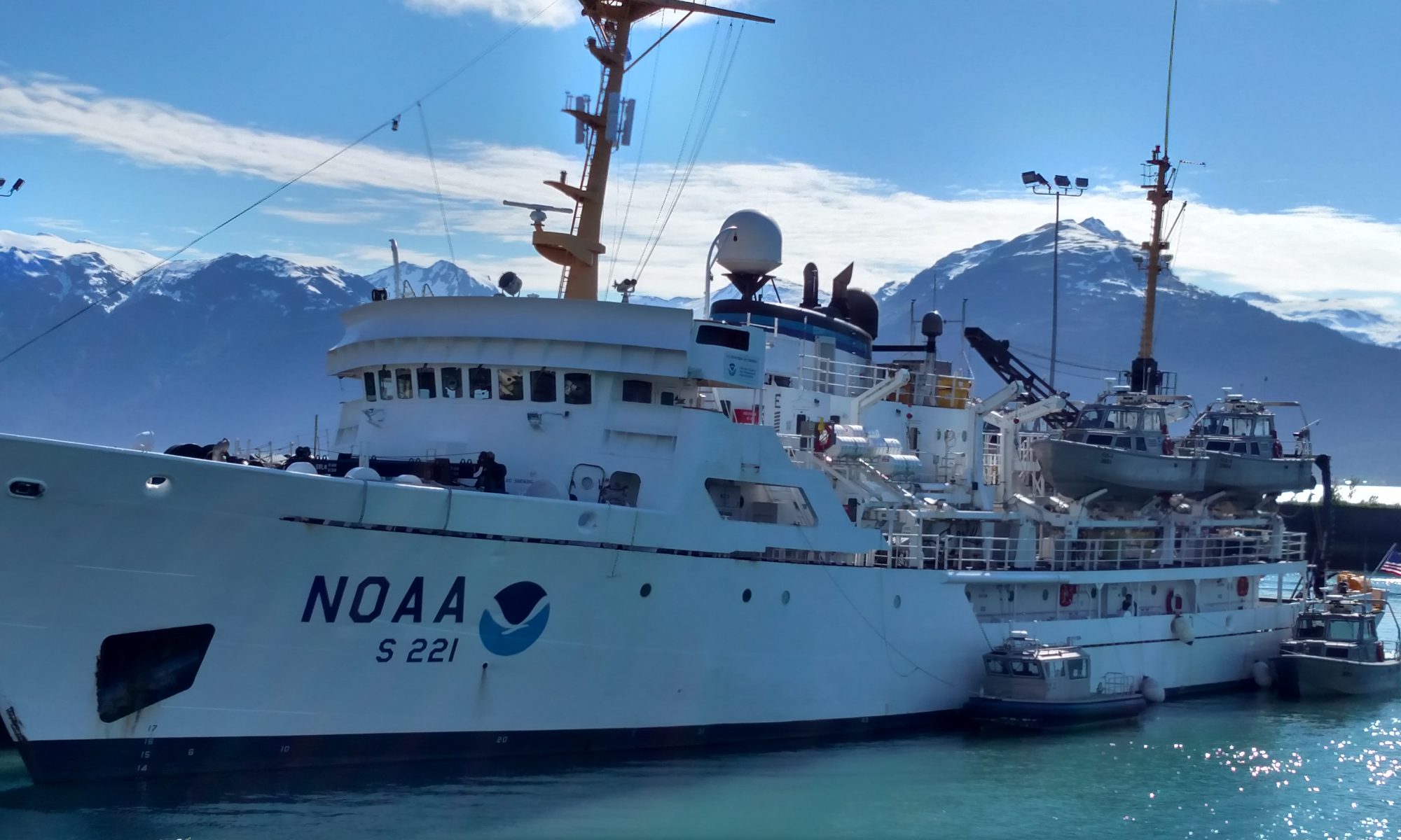
Onboard NOAA Ship Rainier
July 10, 2006
Mission: Hydrographic Survey
Geographical Area: Kodiak, Alaska
Date: July 25, 2006

Science and Technology Log
Weather
Clear, Cloudy
Visibility: 6 nm
Wind: Light
Wind speed: AIRS
Sea wave height: 0-1
Swell Waves: Direction 160
Swell height: 2 ft
Seawater T: 9.4 degrees C
Sea level pressure: 997.8 mB
Temperature dry bulb: 10 degrees C
Temperature wet bulb: 10 degrees C
After breakfast, I went to the Pilot House to learn navigation procedures on the RAINIER. ENS Sam Greenaway, RAINIER’s Navigation Officer showed me the Sail Plan for the ship. I was amazed at the details in the Sail Plan – a far cry from the typical recreational boaters sail plan!
ENS Greenaway also explained the procedures that NOAA follows to report the weather. Weather data is recorded by the ship every hour on the bridge and a Big Weather forecast is reported by the ship to the National Weather Service every six hours using GMT (Greenwich Mean Time). The crew uses books and a computer program to report conditions to the National Weather Service. The “Observing Handbook #1 is a reference providing information on the types of weather conditions at sea.

The RAINIER uses the information in the Observing Handbook to identify and record weather conditions on a form in the “Ship’s Weather Observations” publication, which contains a key to the Morse Code symbols. The RAINIER participates in NOAA’s Volunteer Observing Ships (VOS) program. The VOS program collects weather and oceanographic data from ships at high seas where observations from fixed instruments are limited.
The RAINIER acquires and reports these data in the SEAS (Shipboard Environmental Date Acquisition System) format, for transmission to NOAA’s Weather Service via satellite using the AMVER (Automated Mutual-assistance Vessel Rescue) system. This program is voluntary but all satellite transmission costs anticipated are paid by NOAA and the United States Coast Guard. The data are used by the National Weather service to ensure that high seas forecasts will be timely and accurate as possible. RAINIER reports weather observations by AMVER/SEAS four times per day (0000, 0600, 1200 and 1800 GMT). Weather data are encoded in a system called “Ship Synoptic Code FA 13-X which allows very specific information about the conditions observed by the ship to be transmitted as efficiently as possible.
After leaving the Pilot House, I met with Lt. Ben Evans, RAINIER Operating Officer and Acting Executive Officer who explained the mission of this leg of the cruise. The final destination for this leg is Nagai Island which is located approximately in the center of the Shumagin Islands. Along the way, the survey team will conduct a Hydrography survey for the Semedi Islands and Chirikof Islands. Lt. Evans explained that shipping traffic was picking up in the area and accurate charts are not available for the area. The last chart of the area is dated 1914. The mission for this leg is to produce a new chart for the area and find hazards for ships.
In the late afternoon, fire and abandon ship drills were held. These drills are held once a week so that crew and visiting personnel know their reporting stations on the ship for a fire emergency and for a lifeboat if necessary. After the drills, the sun came out. We have been riding some steady swells today and many of us have taken medicine to combat sickness so the sun is a welcome sight.
Lesson of the Day: Weather
Terms of the Day: Leg, swells, bridge, GMT
Bonus questions: What is the significance of wet bulb and dry bulb temperature?
Recommended reading: 1.Coast Pilot #9 by NOAA; 2. Observing Handbook #1 – Marine Surface Weather Observations by National Weather Service; Mariners Weather by William P. Crawford, Norton Nautical Books.


