
We are excited to bring back our Photo of the Week section so stay tuned for new content coming soon! In the meantime, take a look at these fantastic pictures from our teachers.

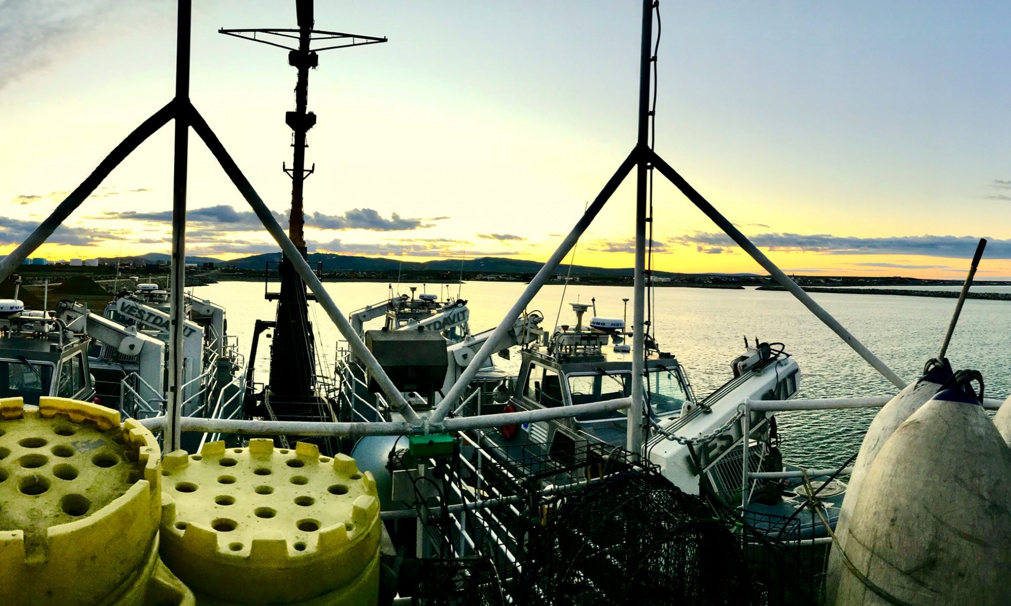
“Hydrographic survey launches can go to shallower depths than the large hydro ships, allowing them to get much closer to shoals and the coast.”
July 22, 2013
Small boats play a big part in hydrographic surveying.
Photo: Yaara Crane
In general, the survey launches do the same work as the <i>Thomas Jefferson</i>, just on a smaller scale. The <i>TJ</i> can only drive on lines with a minimum depth of 30 feet, but the survey launches can go to a minimum depth of 12 feet which allows them to get much closer to shoals and the coast. Every morning, the launch survey teams have a meeting to discuss logistics and safety. My boat was headed out to survey grounds on a new sheet near Cape May, New Jersey. Specifically, we were driving lines in the Prissy Wicks Shoal. This particular region has highly variable depths and created quite a challenge for two reasons: you cannot navigate in straight lines over shoals, and the shoals constantly change so you must drive slowly in case an area is shallower than charted." - Yaara CraneRead the blog post

More topics (78)
- Oregon II
- Dyson
- Alaska
- Pisces
- Gulf of Mexico
- Rainier
- Bigelow
- Oregon
- Ship
- Gunter
- Fairweather
- Catch
- Fisheries
- Atlantic
- Buoy
- Sette
- Sharp
- Women
- Women's History Month
- Flag
- Shimada
- Sunset
- Camera
- Jefferson
- Launch
- Net
- CTD
- Equipment
- Healy
- Jellyfish
- Lasker
- Longline
- NOAA Ship Oscar Dyson
- Safety
- Sample
- Survey
- Chart
- Gulf of Alaska
- Ocean
- Seafood
- Bottom trawl
- Dolphin
- Dredge
- Endangered
- Fourth of July
- Juvenile
- Microscope
- Navigation
- New Year
- NOAA Corps
- NOAA Ship Oregon II
- Oscar Elton Sette
- Shrimp
- Whales
- Arctic
- Bow
- Explorer
- Fishing
- Flounder
- Georges Bank
- Glacier
- Groundfish
- Gulf of Maine
- Hugh R Sharp
- Hugh R. Sharp
- Humpback
- Independence Day
- New England
- Octopus
- Okeanos
- Oscar Dyson
- Reef
- Right whale
- Sea star
- Sea turtle
- Small boat
- Starfish
- Tide
8 photos for survey · Clear
 Celebrating World Hydrography DayJune 22, 2020
 Getting In CloseJune 10, 2019
 Going the DistanceAugust 27, 2018
 Lowering the Launch into the water!September 21, 2015
 ENS Micki and LTJG Adam setting up the staff, so the surveyor can make sure it hasn’t moved.December 1, 2014
 “In this picture you can see a GOES satellite antenna (square white one) that is used to transmit tide data ashore.”May 12, 2014
 Rosalind in front of the computers on the launch, checking for sonar quality (right screen) and observing the path of the ship, to make sure there are no gaps in the data, or “holidays”.December 16, 2013
 “Hydrographic survey launches can go to shallower depths than the large hydro ships, allowing them to get much closer to shoals and the coast.”July 22, 2013