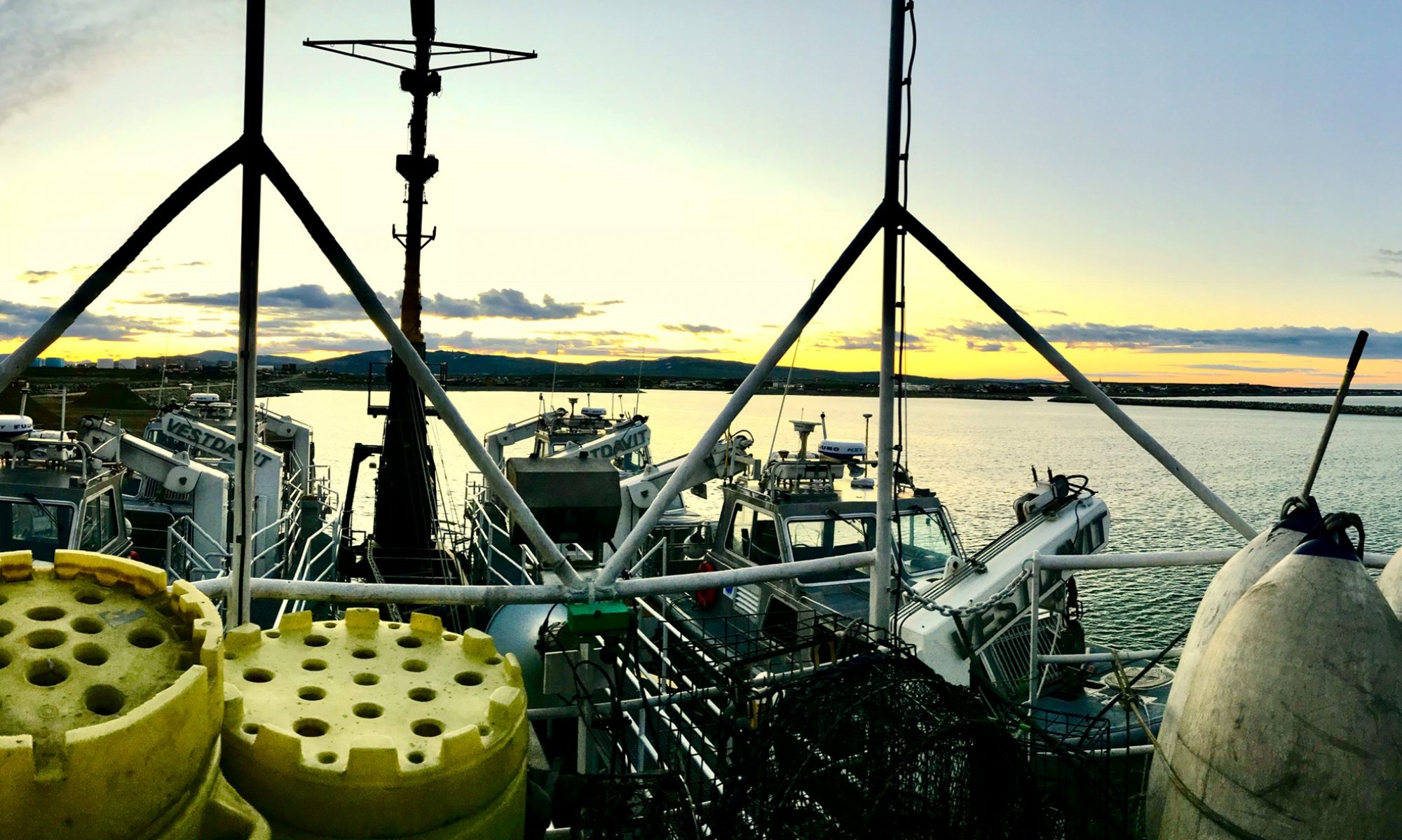

We are excited to bring back our Photo of the Week section so stay tuned for new content coming soon! In the meantime, take a look at these fantastic pictures from our teachers.

Going the Distance
August 27, 2018
TAS ’18 Stephen Kade created this infographic to depict a longline fishing survey.
Photo: Stephen Kade
Longline fishing is a technique that consists of one main fishing line with many baited hooks that come of that line on shorter lines, (like branches off a tree) attached at various distances. Long lines are used in both coastal areas and the open ocean and are often placed to target specific species. If the long line is suspended in the top or mid depth water, it is called pelagic longline fishing. If it is on or near the ocean floor by weighting it down to the sea floor, it is called bottom longline fishing. A high-flyer buoy is placed at either end to mark the position of the line in the water so boats can see it while submerged, and so it can be found when it needs to be retrieved. Weights are placed on each end and the middle of the line to hold the line down to a specified depth.Read the blog post

More topics (78)
- Oregon II
- Dyson
- Alaska
- Pisces
- Gulf of Mexico
- Rainier
- Bigelow
- Oregon
- Ship
- Gunter
- Fairweather
- Catch
- Fisheries
- Atlantic
- Buoy
- Sette
- Sharp
- Women
- Women's History Month
- Flag
- Shimada
- Sunset
- Camera
- Jefferson
- Launch
- Net
- CTD
- Equipment
- Healy
- Jellyfish
- Lasker
- Longline
- NOAA Ship Oscar Dyson
- Safety
- Sample
- Survey
- Chart
- Gulf of Alaska
- Ocean
- Seafood
- Bottom trawl
- Dolphin
- Dredge
- Endangered
- Fourth of July
- Juvenile
- Microscope
- Navigation
- New Year
- NOAA Corps
- NOAA Ship Oregon II
- Oscar Elton Sette
- Shrimp
- Whales
- Arctic
- Bow
- Explorer
- Fishing
- Flounder
- Georges Bank
- Glacier
- Groundfish
- Gulf of Maine
- Hugh R Sharp
- Hugh R. Sharp
- Humpback
- Independence Day
- New England
- Octopus
- Okeanos
- Oscar Dyson
- Reef
- Right whale
- Sea star
- Sea turtle
- Small boat
- Starfish
- Tide
8 photos for survey · Clear
 Celebrating World Hydrography DayJune 22, 2020
 Getting In CloseJune 10, 2019
 Going the DistanceAugust 27, 2018
 Lowering the Launch into the water!September 21, 2015
 ENS Micki and LTJG Adam setting up the staff, so the surveyor can make sure it hasn’t moved.December 1, 2014
 “In this picture you can see a GOES satellite antenna (square white one) that is used to transmit tide data ashore.”May 12, 2014
 Rosalind in front of the computers on the launch, checking for sonar quality (right screen) and observing the path of the ship, to make sure there are no gaps in the data, or “holidays”.December 16, 2013
 “Hydrographic survey launches can go to shallower depths than the large hydro ships, allowing them to get much closer to shoals and the coast.”July 22, 2013